
BRADENTON — Public records are providing a clearer perspective on the latest narrative meant to justify Manatee County Commissioners’ recent approval to roll back local wetland protections and defer oversight to the minimums required by the state.
Despite some commissioners asserting that 66,000 parcels are subject to “over-regulation” and that “private property rights” were being infringed upon, the number of parcels cited as being directly impacted by the county’s wetland buffer requirements appears to be misleading.
At a recent luncheon hosted by the Lakewood Ranch Republican Club, Manatee County Commissioner Ray Turner participated in a Q&A session with local Republican voters. Among the topics raised was the commission’s recent adoption of changes to the county’s comprehensive plan regarding wetland protections.
When questioned about the board’s action, Turner told attendees that the decision was a matter of “private property rights.”
“What staff presented was that there’s over 66,000 private residents with private property rights,” Turner told attendees of the luncheon. “Smaller plots, right, that the restrictions stopped them from developing. It was private property rights and government overreach.”
Turner was referencing information provided by Manatee County Interim Director of Development Services, Nicole Knapp, during the Oct. 5 BOCC meeting and adoption hearing for the comp plan changes. During the meeting, Commissioner Kevin Van Ostenbridge asked staff to provide the number of county parcels that are subject to local wetland buffer requirements which Van Ostenbridge considered an “unconstitutional taking” of private rights.
“There’s been a tremendous amount of false information being thrown out there,” Van Ostenbridge prefaced his question. “Some of the things I have heard that I really question is that this move (removal of local wetland protections) only benefits a few select property owners. Can you tell us how many total parcels in Manatee County are affected by the local wetland buffers?”
Although Knapp stated that there are “just over” 66,000 parcels in Manatee County that would be subject to the county's wetland buffer requirements, Knapp herself never asserted that the parcels counted were indicative of only privately owned lands. However, Van Ostenbridge did insinuate as much in his follow-up comments.
Van Ostenbridge implied that single-family property owners were negatively impacted by the local requirements whenever those private property owners attempted to obtain a permit to construct a mother-in-law dwelling, install a residential swimming pool, build a basketball court or erect a shed.
Later in the meeting, Van Ostenbridge again drilled down on the “facts,” as he read a concluding statement from his monitor.
“I’ve asked the Manatee County building department to provide us with an accurate number of property owners who are impacted by wetland buffers. The additional regulation results in the taking of private property rights from over 66,000 parcels,” Van Ostenbridge stated while repeating “sixty-six thousand parcels” again for emphasis.
Before the board’s vote, Van Ostenbridge again highlighted the numerous persons whose private property rights were likely infringed by local wetland buffer requirements by pointing to the quoted “66,000 parcels.”
“I seconded the motion and I will be supporting it, and I certainly hope that the media covers this accurately and that the headline tomorrow reads, The Board of County Commissioners Reinstates Property Rights to 66,000 Parcels in Manatee County,” Van Ostenbridge said.
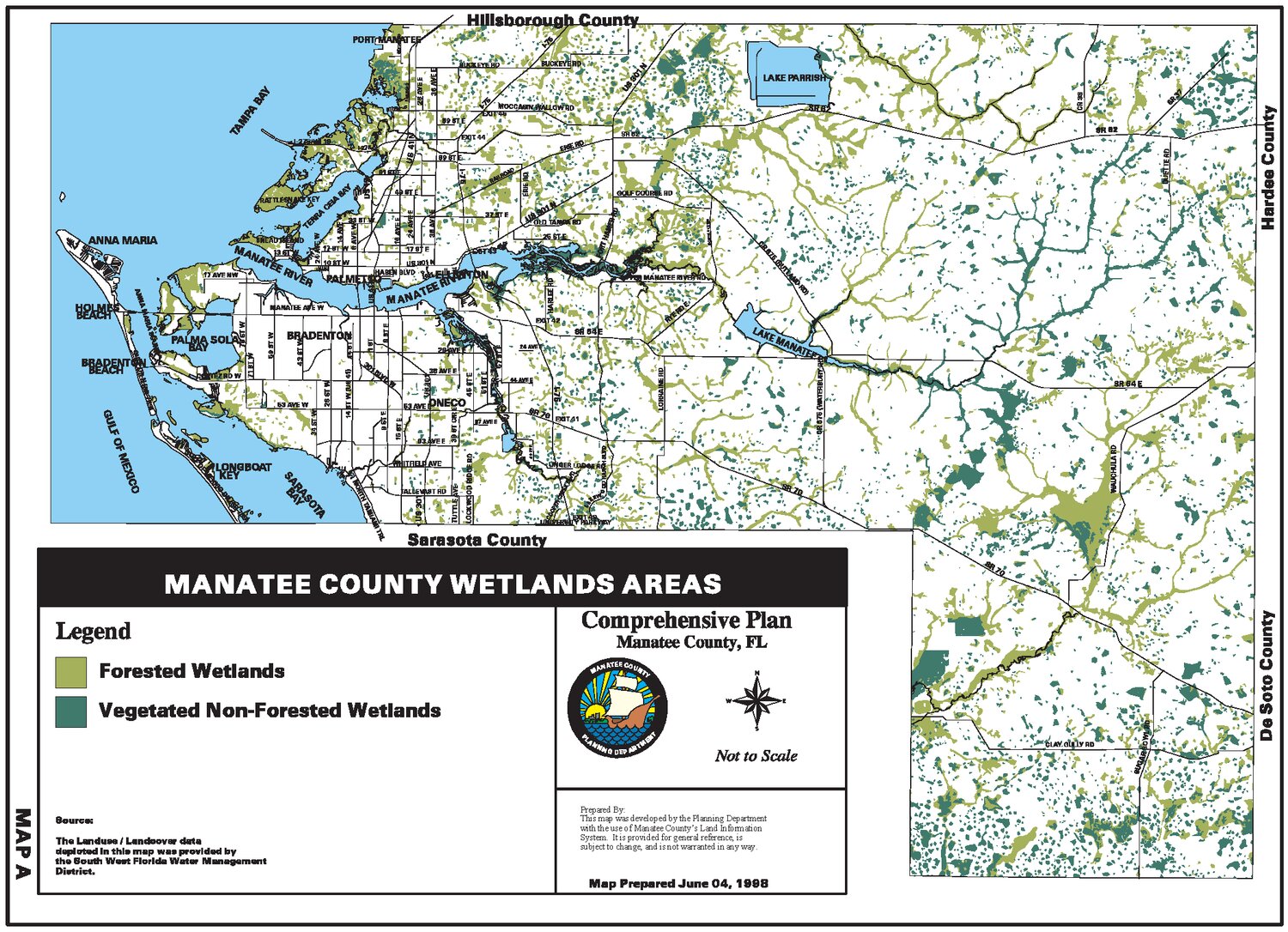
Through a public record request, TBT obtained a map that the county said shows the 66,000+ parcels identified by staff as “intersecting with wetlands” as mentioned during the text amendment's adoption hearing.
“Represented in yellow on the attached map are the parcels that contain any size of wetland on them. This equates to approximately +/- 66,000 parcels, as broken down by zoning district on the attached wetland parcel count,” Interim Director of Development Services Nicole Knapp described the map and list provided per the record request.
To view a PDF version of this map that can be zoomed in on, click here.

The map above, as provided by the county, shows the 66,000+ parcels containing wetlands highlighted in yellow/orange. Immediately noticeable is that a number of the parcels included in the “66,000” count include lands that would not be subject to current or future development, such as the Skyway Bridge Causeway.
In addition, numerous publicly owned parcels are included in the count, despite Van Ostenbridge and Turner’s insistence that the 66,000 parcels signified a large sample of “private property rights” that were being infringed upon.
The counted parcels include all county and state-owned parks or conservation lands in Manatee County including the Robinson Preserve, Emerson Point, Lake Manatee State Park, Duette Preserve, etc.
Using Manatee County’s Land Development GIS Map tool provided on the government’s website, TBT generated a map highlighting park and conservation lands. Parks and conservation lands are highlighted by dark and light green.

Other publicly-owned parcels included in the total count include those owned by the Sarasota-Manatee Airport Authority, Manatee School Board, Manatee County Government and SeaPort Manatee.
But publicly owned parcels were not the only questionable parcels included in the 66,000 examples of property subject to “private property infringements.” Also on the list were parcels owned by FP&L (including the Manatee Solar Energy Center in Parrish), parcels belonging to Mosaic Fertilizer and Phosphates Company, commercial parcels, apartment and condominium complexes, mobile home and RV park parcels and numerous HOA and subdivision parcels.
Utilizing Manatee County’s Land Development GIS Map, TBT also applied the “subdivision” overlay to have a better perspective of those wetland parcels identified west of the Future Development Area Boundary (FDAB). When selected, the overlay highlights subdivisions in pink.

Comparing the results of this overlay to the county’s wetland parcel map revealed that several of the parcels reportedly impacted by the local wetland buffers to the west of the county’s FDAB are in existing subdivisions. Private property owners who reside in subdivisions and who wish to alter or develop their property would be subject to their community’s HOA and/or CDD rules, as well as county building codes.
Perhaps the most obvious detail of the areas highlighted in yellow/orange on the county’s provided “parcels intersecting with wetlands” map, is that much of the yellow/orange highlight lies east of the current FDAB line, this land is mostly zoned for agricultural use. According to data provided by the county, more than 40,000 of the reported 66,000+ parcels containing wetlands are located in Manatee County's District 1 and District 5.

The most surprising type of parcel that appeared in yellow/orange amongst the 66,000+ parcels alleged to be “impacted by local wetland buffer requirements” were the "submerged" parcels, meaning they were not “land” at all.
Per TBT's public record request, the county also produced a list of the 66,000 parcels containing wetlands divided according to their assigned zoning district. The PDF list revealed that less than 2,000 parcels fell under Single-Family zoning. To view the list, click here. For assistance with zoning abbreviations, visit the county's municode, here and here.
The Luncheon
At last week’s LWR Republican Club luncheon, Commissioner Turner included in his opening comments that it was his assessment that the Manatee County Government was doing a “poor job” at communicating its vision. According to Turner, the lack of quality communication on the county’s part meant that the “narrative is presently being set by a few newspapers.”
“It’s not a full vision and it’s not a full view,” Turner told luncheon attendees. “So, honestly, that appearance of corruption and these things is that narrative, and we need to do a better job on that in the county.”
Turner’s speaking engagement with the LWR Republican Club at times grew contentious as club members raised topics of concern and took turns asking the commissioner tough questions.
Although the commission’s recent wetland protections vote was referenced multiple times by LWR Republican Club members, other topics raised during the Q&A included the county’s rapid development, infrastructure investments, taxes, commissioner decorum and special interest influence on local elections or commission policy decisions.
At one point Turner was questioned as to who it was, to his understanding, that “prompted the staff to get the ball rolling” on the removal of the county’s local wetland protections. Turner answered the question by confirming that it was the President of the Manatee-Sarasota Building Industry Association (BIA) Jon Mast. This question was quickly followed by another which asked Turner who his political consultant would be in his bid for the District 5 commission seat in 2024.
“Is it Anthony Pedicini?” the questioner asked.
“Yes it is,” Turner confirmed.
Another questioner asked whether Turner intended to take “any developer money” in the form of campaign donations.
“I would like to have somebody who would say ‘I’m not going to take developer money,’” the attendee added, to a round of applause.
Turner attempted to answer many of the questions related to the county’s growth by explaining that “the county is growing” and “we have to accommodate that growth.” The commissioner repeated multiple times that Manatee County is the fastest-growing area in the nation and that “closing the county” to new development was not an answer.
However, those in attendance seemed largely in disagreement with this position, often times they could be heard shouting out responses of “No, we don’t!” or “What about my private property rights?”
During the video recording of the event—which was posted publicly online—Turner is heard asking the attendees, “What is the prediction for growth for the west coast of Florida?”
“Who cares!?” one attendee could be heard shouting. “Dude, that’s not the answer!”
During the Q&A session, Turner expressed his surprise at the tense nature of the luncheon’s discussion.
“Coming into this meeting, I was not expecting this. Not at all,” Turner said calmly. “It’s not about developers buying me, this is common sense and guess what, people moving here have rights.”
Audible groans could be heard from the audience following Turner’s remarks.
Another question answered by the commissioner was related to his appointment to the county commission by Governor Ron DeSantis. When asked whether local developers Pat Neal or Carlos Beruff played any role in his receiving the governor's appointment, Turner credited the influence of Florida's former Senate President Bill Galvano.
"Bill Galvano was the trigger for that," Turner answered.
The recording of the Oct. 18 LWR Republican Luncheon discussion is available below. Commissioner Ray Turner’s opening comments begin near the 12:30 minute mark. The Q&A begins at the 24:30 minute mark.


